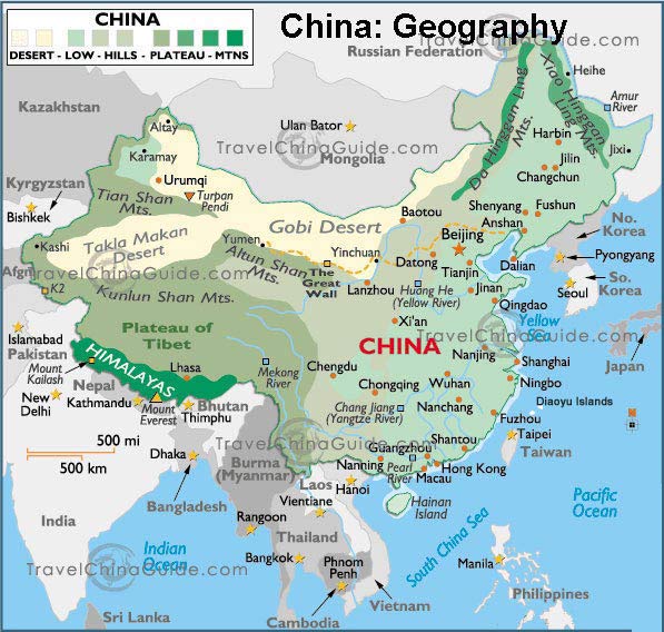
https://www.travelchinaguide.com/images/map/china/china-map-7.jpg
This image reflects the various terrains China has to offer, depending on the region. To put the land differences into perspective, think of China has a three step ladder-topography. The highest point on the ladder begins in the Tibetan area, whereas the last step is in the east of China. The Qinghai-Tibet Plateau standing at about 4,000 meters starts the formation of the first "step" to this ladder which includes the Kunlunshan and Qilianshan range, as well as the Hengduan mountain chain which leads up to the highest point in the world; Mount Everest. This entire stretch of land falls into a catergory known as a rain shadow. The Plateau of Tibet has basically been forced to become a desert due to the Himalayas blocking all of the plant-growing, raining weather needed for vegetation. This happens because when an air mass moves from low to high elevation, it expands and cools. At this point the cool air has created clouds dropping rain and snow on the Himalayas, but as the air mass moves up and over the peak, the clouds dissipate meaning less rainfall.

http://www.worldatlas.com/r/w728-h425-c728x425/upload/06/ea/ca/rain-shadow.jpg
This image shows what this rain shadow effect does to the Tibetan Plateau.Of course these mountains came about due to the Indian subcontinent crashing into Eurasia which then hit an even bigger land mass, thus the plateau and the Himalayas were born. On to the second "step" of the ladder, this is where the large basins and plateaus are located standing at about 1,000-2,000 meters. The division between this "step" and the final "step" is the Daxing'an, Taihang, Wu and Xuefeng Mountains. The final and lowest part of the ladder includes the well-cultivated, fertile lands producing the majority of the crops in China. This lower level is abundant in plains, lakes, and rivers at the foothills of the lower mountains and further Northeast.
https://www.travelchinaguide.com/images/photogallery/2009/1110105241.jpg
https://www.travelchinaguide.com/images/photogallery/2009/1110105307.jpg
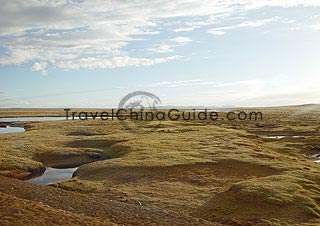
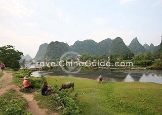
Although, while I visited China I did not enjoy the physical geography in the way I am learning to do now. The scenery I experienced was beautiful in itself. Here are a few more pictures that I took personally. :-)


Citations
Lecture 8: Water, Moisture, & Clouds
Travel China Guide, retrieved from: https://www.travelchinaguide.com/intro/geography/
National Geographic, Rain shadow. retrieved from: http://www.nationalgeographic.org/encyclopedia/rain-shadow/
No comments:
Post a Comment